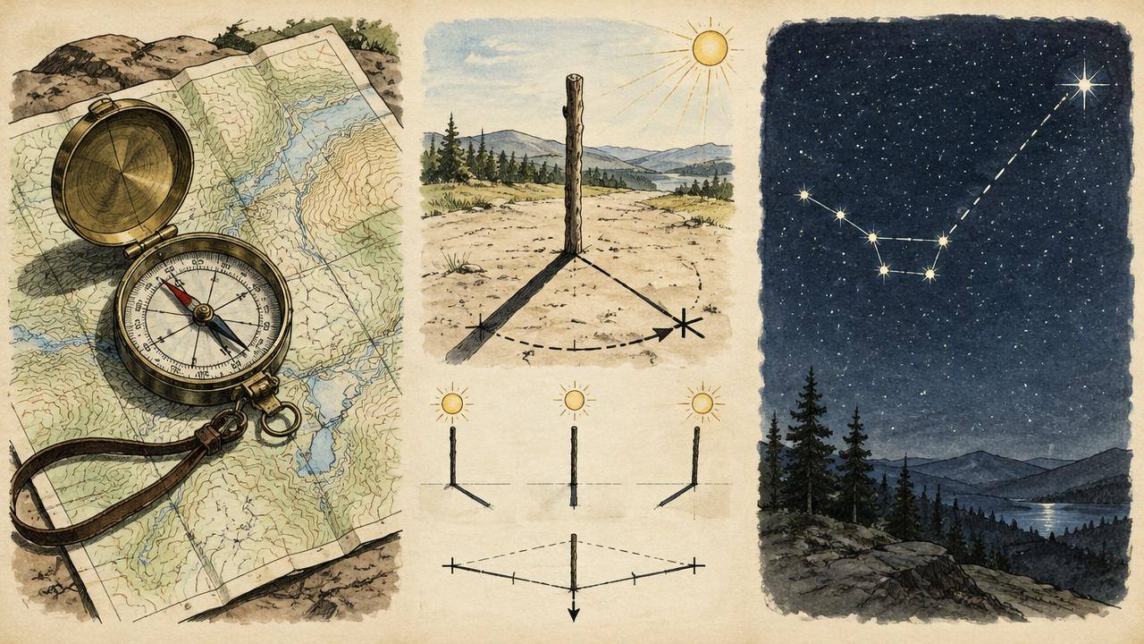
Map and Compass: Taking and Following a Bearing
The most reliable way to travel in a straight line through woods, fog or darkness — no batteries.
Question 1
The goal
Use a baseplate compass and topographic map to walk to a destination you can't see.
Question 2
Materials
- Baseplate compass with rotating bezel
- Topographic map of the area
- Pencil
- Watch
Question 3
Substitutes
- Phone compass app (backup only)
- Sun and shadow-stick method
- Handrail features (streams, ridges)
Where to find it
| Material | Household | Wilderness | Urban / scavenged |
|---|---|---|---|
| Compass | Outdoor gear box | Survival kit | Sporting goods store |
| Topo map | Printed from USGS | Park visitor center | Outdoor store |
Question 4
Step by step
- 1
Find your location on the map and your destination. Draw a line between them.
- 2
Lay the compass edge along that line with the direction-of-travel arrow pointing toward the destination.
- 3
Turn the bezel until its north-south lines are parallel to the map's north-south grid lines, with 'N' pointing to map north.
- 4
Adjust for declination (shown in the map margin): add or subtract the degrees as noted, or use a compass with adjustable declination.
- 5
Read the bearing at the index line — e.g., 72°.
- 6
Hold the compass flat at your waist, arrow pointing forward. Turn your body until the red magnetic needle sits inside the red outline arrow ('red in the shed').
- 7
Look up along the direction arrow and pick a landmark (tree, rock) on that line.
- 8
Walk to it, then repeat: needle in shed, pick next landmark. Don't watch the compass while walking.
- 9
Count paces (about 60–70 double-paces per 100 m on flat ground) to estimate distance.
- 10
If an obstacle blocks you, walk around it with right-angle offsets and count paces back to your line.
Saved steps go to My Survival Notebook.
Question 5
The science
The magnetized needle aligns with Earth's magnetic field, which points toward magnetic north, not true north. Declination is the angle between them and varies by location and year.
Question 6
Dangers & limits
- Metal objects and phones near the compass deflect the needle.
- Steep terrain shown by close contour lines may be impassable.
- Tell someone your route and return time.
Question 7
How you know it worked
You arrive within about 50 m of a target 500 m away using only map and compass.